
Site officiel des chemins de Compostelle en France
Site officiel des chemins de Compostelle en France
Gites
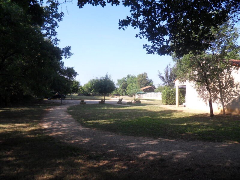
A quelques kilomètres de Rocamadour, Padirac, sur le chemin de St Jacques de Compostelle, au calme, quatre pavillons jumelés, à deux kilomètres du centre ville de Gramat, avec une grande piscine commune.